Upcoming
Brest
Beneath the Sea: The Adventure of Underwater Mapping
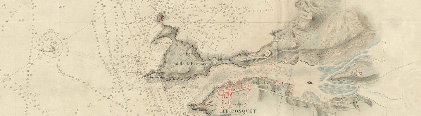
In Brest, the exhibition The Underneath of the Seas is part of the “Into the Deep” cycle, presented across the Musée national de la Marine network. It explores five centuries of underwater cartography, from imagination to scientific innovation and contemporary challenges.
A journey into the heart of deep-sea mapping
Presented at the Musée national de la Marine in Brest from 26 June 2026 to 7 March 2027, the exhibition The Underneath of the Seas. The Adventure of Underwater Cartography is the second chapter of the “The Call of the Deep” cycle, deployed for the first time across the museum’s network.
From early nautical charts filled with sea monsters and mysterious creatures to 3D modelling of the ocean floor, the exhibition traces five centuries of innovation aimed at measuring, analysing and representing territories long hidden from view.
From imagination to science
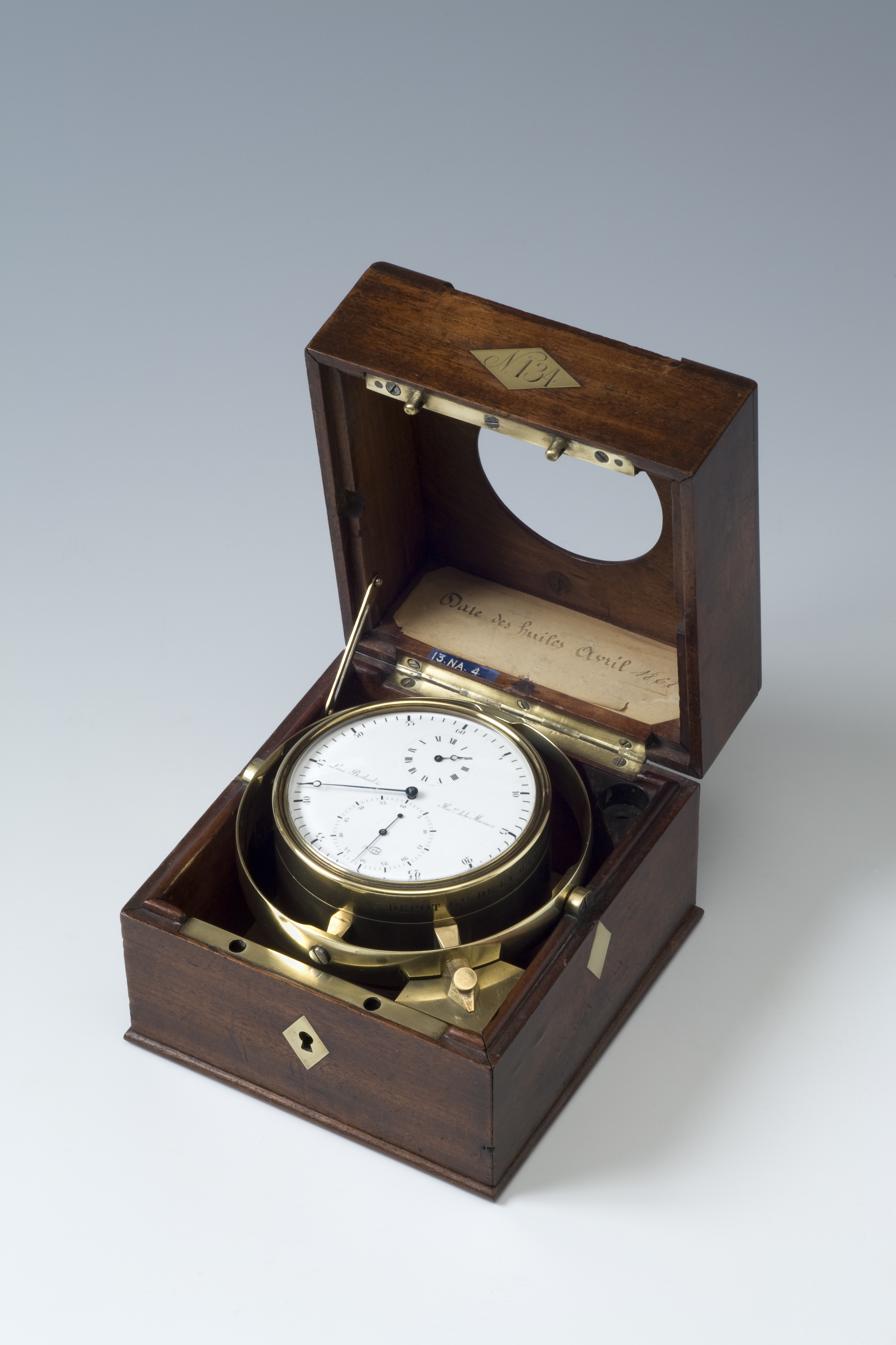
 Enlarge image : Chronomètre à suspension en bois ouvert montrant le mécanisme et le cadran, fabriqué par Louis Berthoud en 1810, instrument de navigation maritime
© musée national de la Marine / A. Fux
What lies beneath the sea? Long before becoming a science, marine cartography was shaped by empirical knowledge and rich visual imaginaries, oscillating between fear and fascination.
The exhibition highlights a major turning point in the 18th century, particularly through the work of Charles-François Beautemps-Beaupré, considered the father of modern hydrography. The creation of the Depot of Charts and Plans of the Navy in 1720 marked a decisive step in structuring this discipline.
In Brest, this story also takes on a local dimension, with historical episodes such as the British blockade (1793–1814) and major harbour developments.
Strategic and contemporary challenges
With the rise of navigation needs and new technologies, and in a shifting geopolitical context, underwater cartography has evolved in both civil and military applications.
These missions, carried out by the French Naval Hydrographic and Oceanographic Service (Shom), based in Brest and heir to the Depot of Charts and Plans founded in 1720, remain a key component of maritime activity.
While only 26% of the world’s seabed has been mapped to date, the exhibition highlights the essential role of deep-sea cartography across multiple fields:
- science and history (underwater archaeology)
- energy and economy (offshore wind and tidal power)
- environment (risk management and biodiversity)
- defence and geopolitics (nuclear deterrence)
A hundred works telling the story of exploration
Through around one hundred objects – maps, models, paintings, documents, navigation instruments, photographs, archaeological artefacts, books and full-scale elements – the exhibition tells the human story of exploring, measuring and representing the deep.
It sheds light on a largely unknown world that still escapes direct observation.
Commissary
Jean-Yves Besselièvre, administrateur du musée national de la Marine - Château de Brest ;
Lénaïg L’Aot-Lombart, administratrice adjointe du musée national de la Marine – Château de Brest
Call of the Deep
With the "Call of the Deep" cycle, the Musée national de la Marine presents, for the first time, a series of exhibitions deployed across its entire network.
Informations pratiques
Du 26 juin 2026 au 7 mars 2027
Château de Brest - 29200 Brest.
L'exposition est inclus dans le prix du billet
Brest - Le dessous des mers. L’aventure de la cartographie sous-marine
Exposition du 26 juin 2026 au 7 mars 2027 au musée national de la Marine à Brest Communiqué de presse